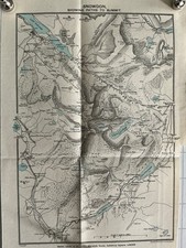
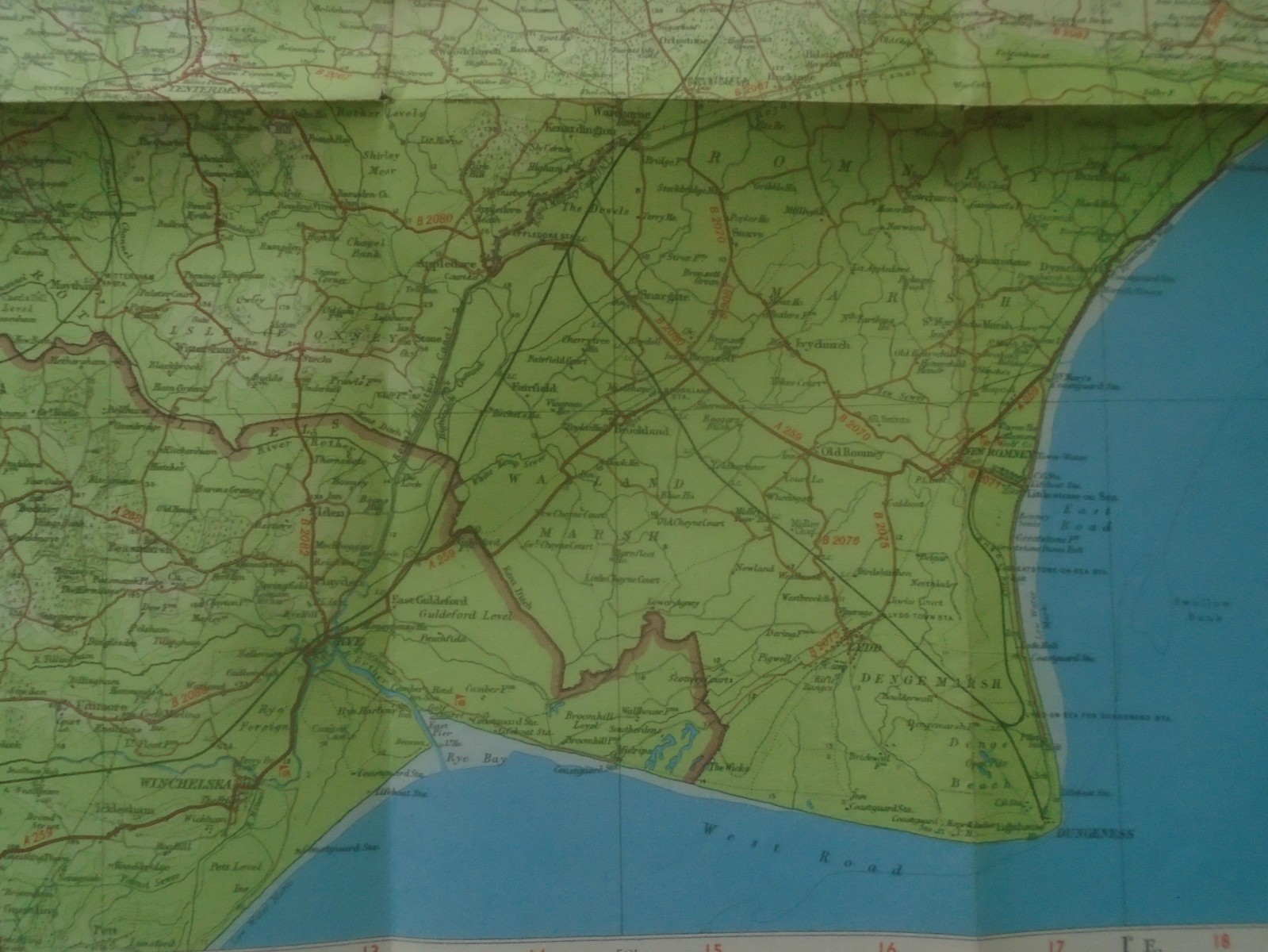
Barts Map Ordnance Survey Kent 1948 – Dungeness, Margate & Canterbury
This Barts map is an Ordnance Survey Kent 1948 sheet covering areas such as Dungeness, Margate, Ramsgate, Canterbury, and Deal. The item is described as sound and about pristine, with no stains, holes, tears, or annotations. Please check the listing photos carefully to confirm the exact content, edition details, and any minor handling marks. Free shipping is included, making it a convenient option for collectors of antique maps, local history research, or display. Check the listing for details.


| Location | Petersfield GB |
| Shipping | Free shipping (check listing for details) |
| Seller |
fair4290
100.0% positive · 4342 feedback
|
| Listing | FixedPrice · Active |
| Start time | 2026-01-04T17:51:33.000Z |
| Map Type | Ordnance Survey |
| Country of Origin | United Kingdom |
Any map is a thing of beauty and a joy forever. This one shows amazing detail. Dimensions;. Excluding cover map itself is about 33" by 22" Would it look good framed? Absolutely without annotation, tear, mark, or hole. Period Bartholomews advertisement. I have good access to postal facilities and invariably post same day if buyer PayPals by 15.00 hours. Questions quickly answered. PayPal only please. NB Packaging may be recycled, recyclable. If you want a special treat, browse my other items. Because I always combine postage. Meanwhile, thank you for looking, have a nice day and bid with enthusiasm.