Geographia London N 1950? Street Index OS Map of Hendon to Enfield
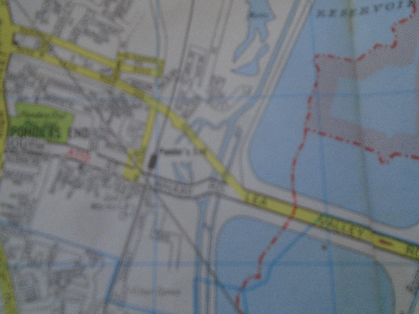
Geographia London N 1950? full index-based Ordnance Survey street map covering Hendon, Finchley, Barnet, and Enfield. This is a used antique street index map that shows honest age-related wear, but is described as free from holes, tears, or annotations. Approximate size is 39.5" x 30". Ideal for reference, collecting, or framing as a period snapshot of North London. Free shipping is included. Check the listing for details.


| Location | Petersfield GB |
| Shipping | Free shipping (check listing for details) |
| Seller |
fair4290
100.0% positive · 4342 feedback
|
| Listing | FixedPrice · Active |
| Start time | 2026-01-04T17:20:56.000Z |
| Map Type | Ordnance Survey |
| Country of Origin | United Kingdom |
A good Map is a thing of beauty and a joy forever. Complete coverage of lovely place. Street map, shows a lovely part of the world. Used with lots of old tape, lots of holes. Date, is a bit of a guess, but is shows railway W of Mill Hill East which was cancelled about 1954. Questions quickly answered, UK postage and PayPal only please. Please note. Envelope may be recycled/recyclable. I have good access to postal facilities and invariably mail same day if buyer PayPals by 15.00 hours.